Skip to main content Accessibility help
×
  • Cited by 1
Publisher:
Cambridge University Press
Online publication date:
June 2016
Print publication year:
2013
Online ISBN:
9781316529973

Book description

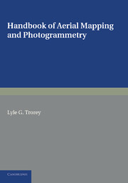
Originally published in 1952, this book is intended as an introductory guide to aerial mapping and photogrammetry. The main emphasis is on making maps during wartime, when accuracy is paramount and information may be minimal; Trorey had experience of this while serving with the Canadian Military Survey in WWII. This book will be of value to anyone with an interest in mapmaking.

Refine List

Actions for selected content:

Select all | Deselect all
  • View selected items
  • Export citations
  • Download PDF (zip)
  • Save to Kindle
  • Save to Dropbox
  • Save to Google Drive

Save Search

You can save your searches here and later view and run them again in "My saved searches".

Please provide a title, maximum of 40 characters.
×

Contents

Metrics

Full text views

Total number of HTML views: 0
Total number of PDF views: 0 *
Loading metrics...

Book summary page views

Total views: 0 *
Loading metrics...

* Views captured on Cambridge Core between #date#. This data will be updated every 24 hours.

Usage data cannot currently be displayed.