Article contents
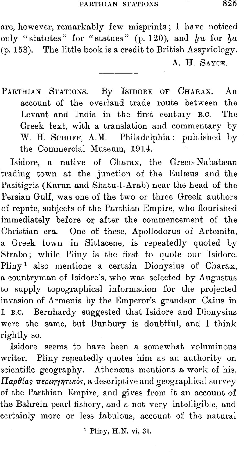
Parthian Stations. By Isidore of Charax. An account of the overland trade route between the Levant and India in the first century b.c. The Greek text, with a translation and commentary by W. H. Schoff. A.M. Philadelphia: published by the Commercial Museum, 1914.
Published online by Cambridge University Press: 15 March 2011
Abstract

- Type
- Notices of Books
- Information
- Copyright
- Copyright © The Royal Asiatic Society 1915
References
page 825 note 1 Pliny, H.N. vi, 31.
page 826 note 1 Pliny, H.N. v, 31 (86), says that Seleucus (Nicator). joined the two banks by a bridge, which must have been a boat-bridge.
page 827 note 1 Chesney, , Expedition, etc., vol. i, p. 47Google Scholar. Bir is 140 miles by road from the nearest Mediterranean port, and 133 miles in a direct line from the mouth of the Orontes. Isidore's itinerary gives the distance from Antioch to Zeugma as 49 schœnoi. The schoinos was nominally equal to 30 stadia, or a little over 6,000 yards, say 3½ miles. This makes the road from Antioch to Zeugma 134 miles, which is perhaps a little over the mark. The schoinos, however, was, like all Oriental measures of length, a variable quantity. From Zeugma to Seleucia is given as 171 schœnoi, equal to 538 miles. The number of days' marches is not given. Herodotus uses parasangs and not schœnoi. Schoinos was an Egyptian measure, and the merchants of Charax must have introduced it from Egypt. In Northern India the rasi or “rope” is strll recognized locally as a measure of length.
page 827 note 2 It or perhaps another canal was often regarded as an arm of the Euphrates. Isidore is, I think, the first writer to call it by its native name Ναρμλχαν, Nahr Malika. But Isidore was clearly as much at home in Aramaic as in Greek. Mr. Schoff has omitted any notice of this canal, but it was a very important point in the passage to Seleucia. The camels seem to have unloaded when they came to the canal, and the goods went forward on boats. This was evidently the case with the traffic across the desert to Seenæ; probably also the case with the Euphrates traffic.
page 828 note 1 Strabo, , xvi, p. 748.Google Scholar
page 829 note 1 Two and a half English miles an hour is a very fair rate for a camel caravan. Sir W. Ramsey says that in Asia Minor travellers on foot usually did 16 or 17 miles a day; those in chariots about 25 miles.
page 829 note 2 Bunbury (History of Ancient Geography, ii, p. 164, n. 2Google Scholar) says that this Alexandropolis was “undoubtedly” Kandahār, and so say all the other commentators. But Dames (Encyclopœdia, of Islam, s.v. Afghanistan, p. 149) says that Kandahār is historically a modern town, first mentioned in the fourteenth century a.d. Alexandropolis must have been somewhere in this neighbourhood.
page 832 note 1 Translated by Mr. Schoff “a royal station”.
- 1
- Cited by


