
Book contents
- Frontmatter
- Dedication
- Table of Contents
- Acknowledgments
- List of Illustrations
- Note on Transliteration, Translation, and Illustrations
- Introduction: All Streets Lead to Temples
- 1 Sandstone and the City: Building Pallava-Kanchi (ca. seventh through ninth century)
- 2 Realignment: Kanchi in the Chola Era (ca. tenth through thirteenth century)
- 3 The City and its Ports
- 4 Kanchi Under Colonialism
- Epilogue: The Living Temple
- Bibliography
- Index
2 - Realignment: Kanchi in the Chola Era (ca. tenth through thirteenth century)
Published online by Cambridge University Press: 16 December 2021
- Frontmatter
- Dedication
- Table of Contents
- Acknowledgments
- List of Illustrations
- Note on Transliteration, Translation, and Illustrations
- Introduction: All Streets Lead to Temples
- 1 Sandstone and the City: Building Pallava-Kanchi (ca. seventh through ninth century)
- 2 Realignment: Kanchi in the Chola Era (ca. tenth through thirteenth century)
- 3 The City and its Ports
- 4 Kanchi Under Colonialism
- Epilogue: The Living Temple
- Bibliography
- Index
Summary
Abstract
Centering on the emergence of a royal road, Chapter Two reveals Kanchi's underlying urban logic. All temples in the city faced this road, which established an enduring pilgrimage network that connected northern Tamil Nadu with the holy hilltop temple at Tirupati. Following the road to the villages north and south of Kanchi, the chapter demonstrates that changes in patronage structures in the rural hinterland supply valuable information concerning similar transformations taking place on a much larger scale and with greater complexity inside the borders of the city. Presented here for the first time, this chapter identifies, maps, and examines Kanchi's Chola-era temples in the context of their contributions to the growth and intensification of the urban space.
Keywords: Chola bronze, Procession, Varadarāja Perumāḷ/Varadaraja Perumal temple, Vaishnava, Shaiva, Goddess Kāmākṣī/Kamakshi
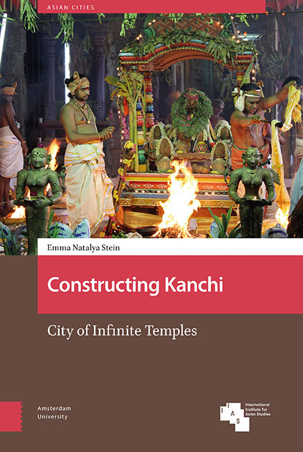
At the center of modern Kanchi, a large road called Kamarajar Salai runs north to south, bisecting the city along a broad avenue that is lined with shops, tea stalls, residences, and shrines. As Kanchi's busiest thoroughfare, this road is plied with vehicles starting in the earliest hours of the morning (Ill. 29). However, Kamarajar Salai is more than a route through the urban core of Kanchi. It is also a main artery for religious processions. All streets, big and small, branch off from this avenue and lead to Kanchi's many temples. In turn, the temples orient their principal gods towards the central avenue (Ill. 30). Temples to the west of Kamarajar Salai have sanctums that open towards the east. Temples to the east of Kamarajar Salai have sanctums that open towards the west. This centralized orientation is consistent in all temples built within the boundaries of the city during the last twelve hundred years, regardless of religious dedication, builder, date, or material.
This chapter examines how Kanchi's urban landscape was radically reoriented and reconfigured by this unique spatial logic during the Chola period (ca. 850-1275 CE). The city's new rulers laid the main avenue and other new roads, and they allocated resources for the construction, expansion, and maintenance of dozens of temples within and around the city. In doing so, the Cholas realigned the old Pallava city to foster their own political connections and to establish new ritual networks.
- Type
- Chapter
- Information
- Constructing KanchiCity of Infinite Temples, pp. 103 - 152Publisher: Amsterdam University PressPrint publication year: 2021