No CrossRef data available.
Article contents
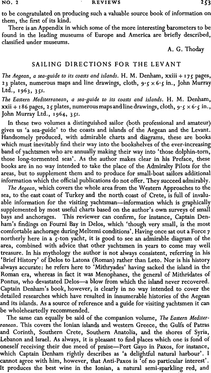
Sailing Directions for the Levant - The Aegean, a sea-guide to its coasts and islands. H. M. Denham, xxiii + 175 pages, 23 plates, numerous maps and line drawings, cloth, 9.5 × 6.5 in., John Murray Ltd., 1963, 35s. - The Eastern Mediterranean, a sea-guide to its coasts and islands. H. M. Denham, xxii + 186 pages, 25 plates, numerous maps and line drawings, cloth, 9.5 × 6.5 in., John Murray Ltd., 1964, 35s.
Published online by Cambridge University Press: 18 January 2010
Abstract

- Type
- Reviews
- Information
- Copyright
- Copyright © The Royal Institute of Navigation 1965


