No CrossRef data available.
Article contents
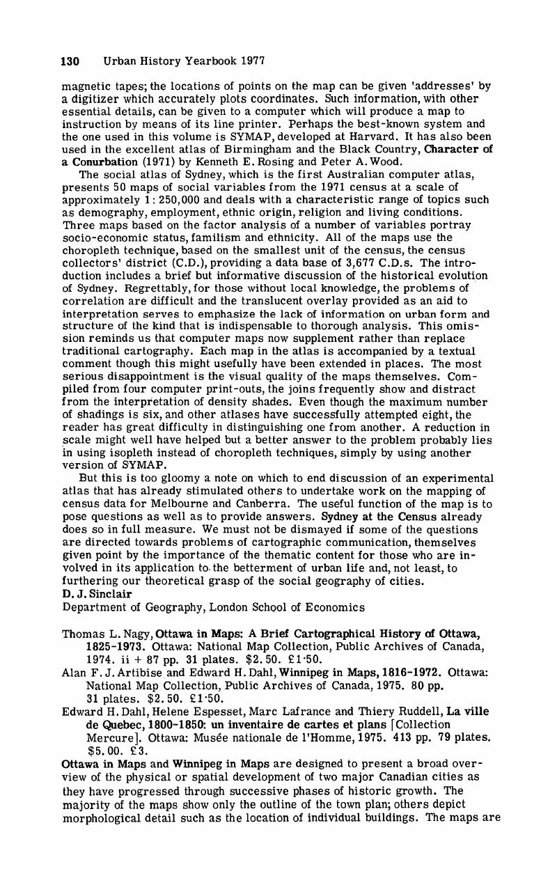
Thomas L. Nagy, Ottawa in Maps: A Brief Cartographical History of Ottawa, 1825–1973. Ottawa: National Map Collection, Public Archives of Canada, 1974. ii + 87 pp. 31 plates. $2.50. £1·50. - Alan F. J. Artibise and Edward H. Dahl, Winnipeg in Maps, 1816–1972. Ottawa: National Map Collection, Public Archives of Canada, 1975. 80 pp. 31 plates. $2.50. £1·50. - EdwardH. Dahl, Helene Espesset, Marc Lafrance and Thiery Ruddell, La ville de Quebec, 1800–1850: un inventaire de cartes et plans [Collection Mercure]. Ottawa: Musée nationale de l'Homme, 1975. 413 pp. 79 plates. $5.00. £3.
Published online by Cambridge University Press: 09 February 2009
Abstract
An abstract is not available for this content so a preview has been provided. Please use the Get access link above for information on how to access this content.

- Type
- Book Review
- Information
- Copyright
- Copyright © Cambridge University Press 1977


