
Book contents
- Frontmatter
- Dedication
- Contents
- Figures
- Tables
- Acknowledgements
- Introduction
- Map
- 1 A Place of Immense Advantage
- 2 London and Jamestown
- 3 Sailortown
- 4 Life and Death in the Depots
- 5 ‘All, all, without avail’
- 6 After ‘Liberation’
- 7 Island Lives
- Conclusion
- Appendix 1 Liberated Africans Captured aboard Slave Ships: Cases Tried at Freetown, Luanda, Cape Town and St Helena, 1836–68
- Appendix 2 Prizes Adjudicated by the Vice-Admiralty Court of St Helena
- Appendix 3 Liberated African Emigration from St Helena
- Appendix 4 Emigrant Voyages from St Helena
- Bibliography
- Index
1 - A Place of Immense Advantage
- Frontmatter
- Dedication
- Contents
- Figures
- Tables
- Acknowledgements
- Introduction
- Map
- 1 A Place of Immense Advantage
- 2 London and Jamestown
- 3 Sailortown
- 4 Life and Death in the Depots
- 5 ‘All, all, without avail’
- 6 After ‘Liberation’
- 7 Island Lives
- Conclusion
- Appendix 1 Liberated Africans Captured aboard Slave Ships: Cases Tried at Freetown, Luanda, Cape Town and St Helena, 1836–68
- Appendix 2 Prizes Adjudicated by the Vice-Admiralty Court of St Helena
- Appendix 3 Liberated African Emigration from St Helena
- Appendix 4 Emigrant Voyages from St Helena
- Bibliography
- Index
Summary
Prelude: 1807–39
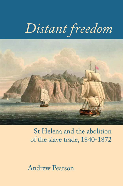
St Helena lies in the tropical South Atlantic at latitude 15°58′ south and longitude 5°43′ west. The seventeenth-century explorer Peter Mundy described its location as ‘the Farthest Distantt From any other Iland or Mayne than any other Iland elce yet Discovered’, and while a few more remote places have since been found, St Helena continues to exist in splendid isolation. It is closest to Ascension Island, 1,300 km to the north-west, while the island group of Tristan da Cunha lies 2,400 km to the south. The nearest continental landfall is southern Angola, just over 1,800 km to the east, with the Brazilian coast 3,260 km distant to the west.
St Helena is not only remote but also extremely small. At 17 km long and 10 km wide, it occupies an area of only 122 km2, though the topographically complex landscape gives the impression that the island is rather larger. There is little flat ground, and the deeply incised valleys compel the traveller to take convoluted routes from one place to another.
The island was discovered in 1502 by a Portuguese fleet returning from India, under the command of João da Nova Castella. Da Nova took the opportunity to refit his battered ships, rest his crew and replenish his stocks of food and water, before heading back into European waters. Thus, within only 15 years of the first European navigators reaching the Indian Ocean, St Helena had begun its function as a maritime staging post. This would provide the island's raison d’être for centuries to come, as Western seafarers ventured into the South Atlantic and Indian Ocean in ever greater numbers. in 1659 the English staked their claim to the island, under the auspices of the East India Company and, with the exception of a brief occupation by the Dutch in 1673, it has remained in British possession ever since. From precarious beginnings, when starvation and mutiny by both the garrison and the slave population were a constant danger, the colony gradually established itself as the eighteenth century progressed, centred on its modest but elegant port at Jamestown.
Throughout this period the East India Company's influence pervaded all aspects of life, but by the early decades of the nineteenth century the Company's time was passing.
- Type
- Chapter
- Information
- Distant FreedomSt Helena and the Abolition of the Slave Trade, 1840–1872, pp. 13 - 38Publisher: Liverpool University PressPrint publication year: 2016